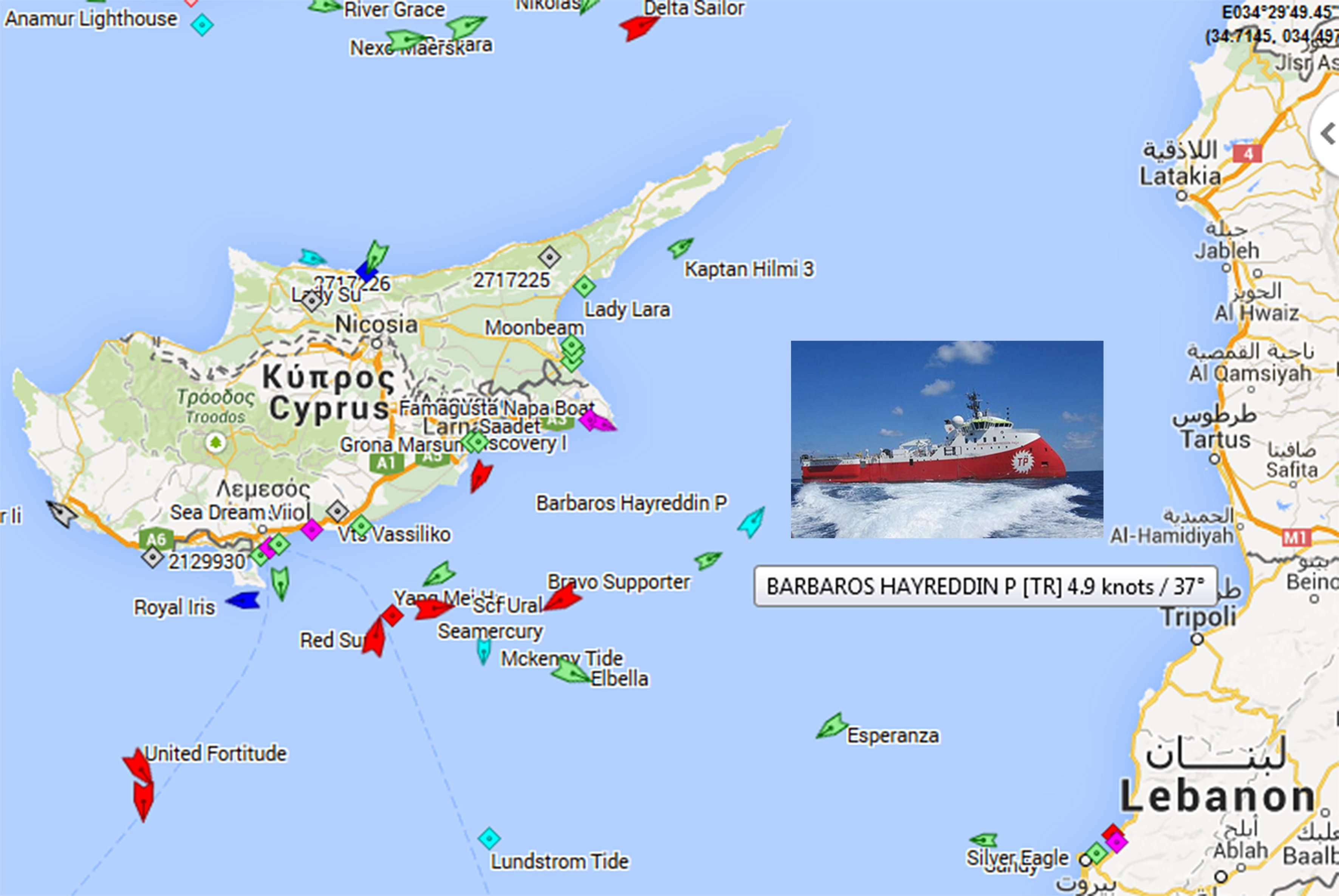
Turkey has sent the seismographic ship Barbaros for exploration, along with two support ships, according to a report in Cypriot daily Phileleftheros.
At the same time, Ankara has issued a Navtex tying up a large maritime area, including area including a part of Cyprus’ offshore Exclusive Economic Zone (EEZ).
A map published with the news report shows that the area to be covered begins four nautical miles south of the Cape of Saint Andreas, and extends eastward to coastal area where the Turkish-Syrian border is located.
In the last two months, the Barbaros conducted seismographic exploration from the Karpasia Peninsula to the Turkish coasts.


